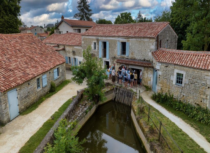
The Marais Poitevin is an exceptional natural park that extends between Niort, to the east, and the Baie de l'Aiguillon, to the west. Imagine that the sea originally stretched here… It left this marshy area behind its furrows, worked by man over the centuries to become the second largest wetland in France, labeled Regional Natural Park.
This space is crossed by the Sèvre Niortaise, the true backbone of the Marais Poitevin. Take its waterways, sink into its green setting to penetrate the heart of the secret soul of the marsh. The photos you bring back will look like impressionist paintings.
The Marais Poitevin offers us a varied mosaic of colors and landscapes: the swamp called wet to the east, the coastal part to the west and the one said dried hyphen between the other two. Nature destination par excellence, this lively and unusual territory opens its doors to you to enjoy its wide open spaces and the simple things that make it up. We meet there with those we love and we connect to the essentials, for a weekend or more.

Zoom : Where is the Marais Poitevin?
Straddling three departments: Deux-Sèvres, Vendée and Charente-Maritime, the Marais Poitevin extends over more than 100 hectares. Second largest wetland in France after the Camargue, you will have to travel 000 km from its “east” point in Niort to its extreme “west”, at Aiguillon Bay and the Atlantic Ocean.

The wet marsh, called “Green Venice”
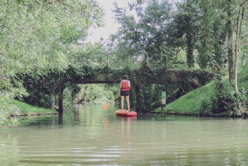
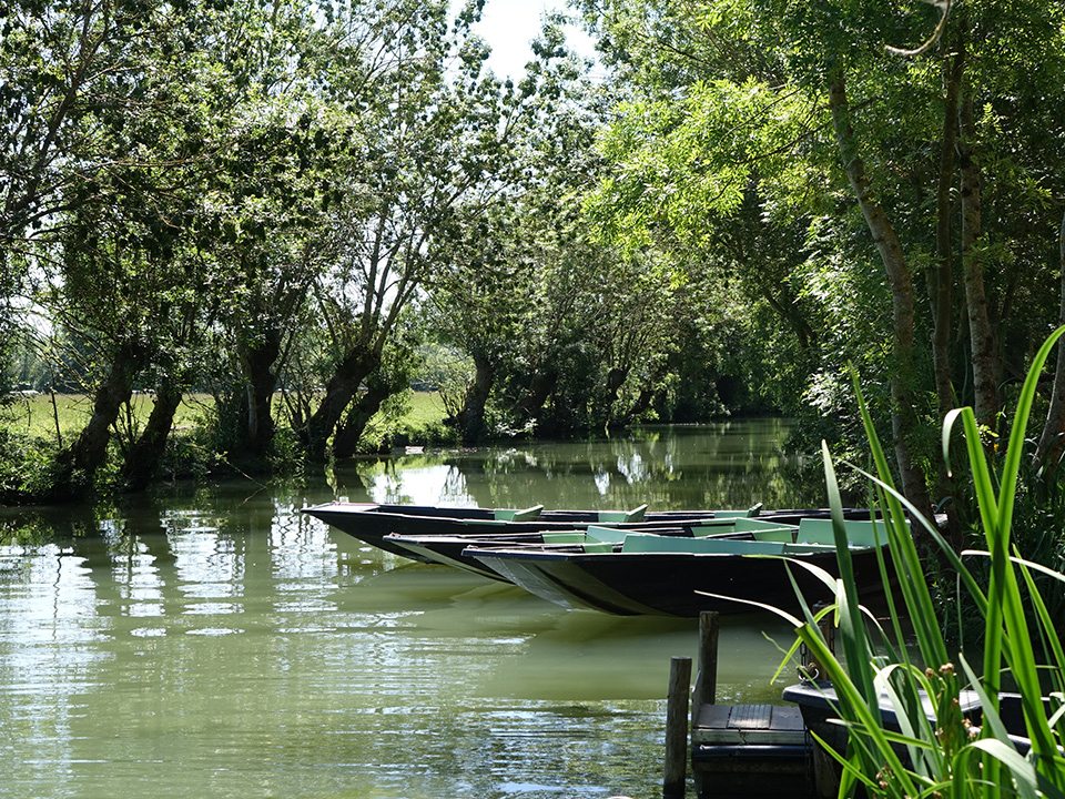
The Green Venice is the most emblematic part of the Marais Poitevin, because of its spectacular landscapes where the canals stained with lentils and lined with strangely shaped trees carry the boats of travelers. Here, there is no doubt that GREEN dominates. From the protective branches to the emerald reflections of the water, nature seems to have never been disturbed by man. And yet, for centuries, the maraîchins have adapted to these changing lands. A ride on a flat, the traditional marsh boat, by canoe, on horseback, by bike or on foot along the trails will allow you to discover its mysteries...
The opinion of the local counter
Our top 5 in the Marais Poitevin:
- In the early morning, when nature wakes up
- When you catch a heron take flight above the misty canals
- The “wow” effect of fire on water produced by our boatman guide
- Watch the weeping willows dance, lying in the grass at siesta time
- Observe the elegance of a dragonfly resting on a leaf, the controlled swimming of a coypu between two banks
And you ?

Did you say “wet”?
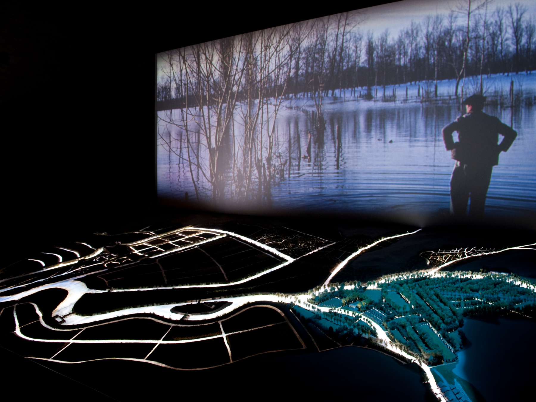
The marsh is said to be "wet" because the water overflows there regularly. In winter, in the event of heavy rains, the Sèvre Niortaise, the Vendée, and the Autize, Lay and Mignon rivers flow into the wet marsh, before reaching the sea. It must be said that the clay soil of the marsh, due to the deposits left by the water several centuries ago, is almost impermeable, and very flat (half of the marsh being located at less than two meters above sea level). The water therefore infiltrates very little, and flows slowly towards the sea. It can then rise up to 1 meter above the ground. An atypical landscape is thus offered to us: the land is transformed into vast lakes dotted with tadpole ash trees emerging from the water. The wet marsh is the best known part of the Marais Poitevin.
The wet marsh is criss-crossed by a multitude of canals bordered by rows of trees which prevent the banks from collapsing by fixing the earth with their roots. If canals were originally the only means of communication, today they are places for boat trips particularly appreciated by visitors.
Discover the Green Venice by boat
The Green Venice is 8.000 kilometers of waterways (of which 350 km are signposted) in a green cathedral: an ideal place for a boat trip in the shade of the ash trees. Here the traditional boat is called "la plate" and can be hired from one of the many piers in the marsh. You can then choose to walk alone following the marked routes or accompanied by a boatman guide. Of many piers offer you the adventure.
The parched swamp
The so-called "dried" is yet green. It stretches between Baie de l'Aiguillon and the wet marsh. Water is omnipresent there but it is not subject to flooding, unlike its neighbor the wet marsh. A vast hydraulic network (dikes, floodgates, locks, etc.) protects it from floods and tides.
This area of the marsh is characterized by open landscapes made up of straight channels separating immense meadows. Farms are very present, the dried marsh is particularly known for the production of quality wheat. Formerly limestone islands emerged from the Gulf of Pictons, it is on these islands that cities and Marans or Chaillé les Marais.

Zoom
Find cycling and hiking circuit maps to be made in the Marais Poitevin at our local counters!
Discover the Marais Poitevin by bike or on foot
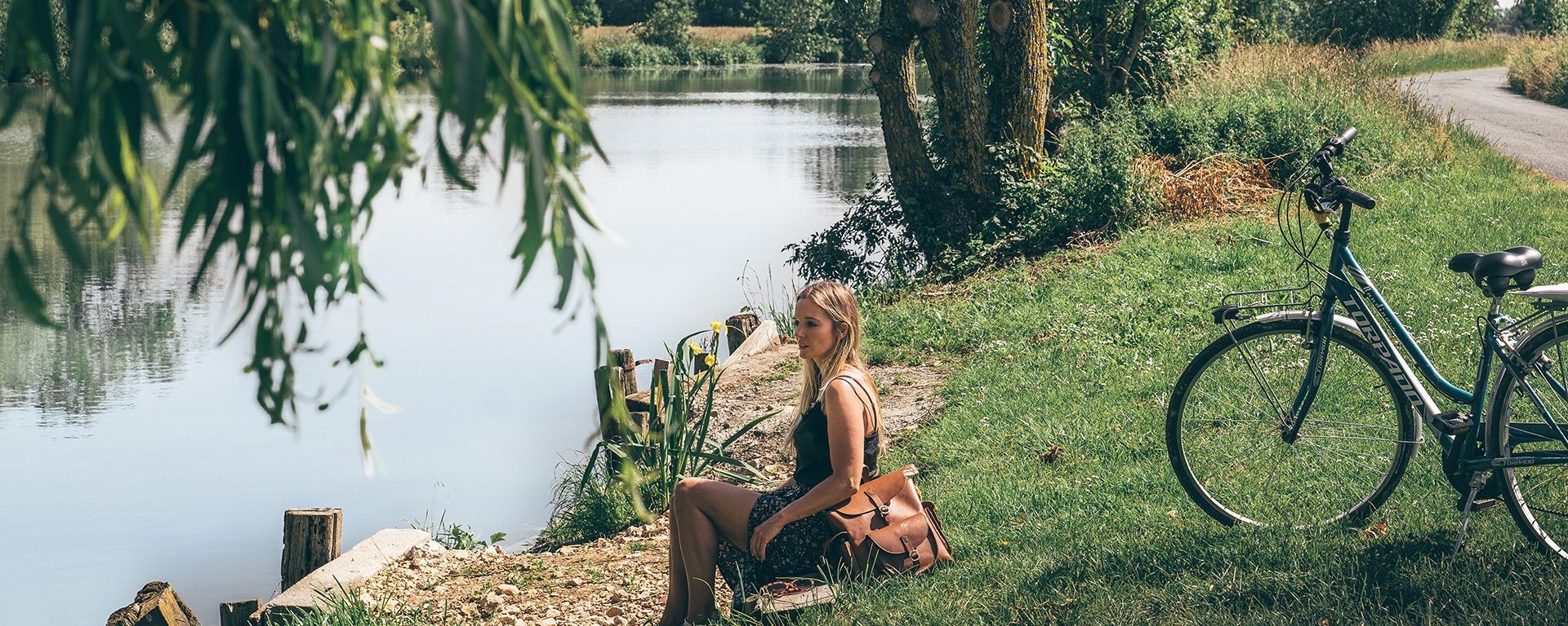
The Marais Poitevin is also great prospects for walks or bike rides. There are many cycle routes and the Vélo Francette, a national cycle route, completes these beautiful perspectives. The flat and shaded paths of the marsh can also be explored on foot, ideal for observing the fauna and flora, rare and protected species which will not fail to amaze you. Discover, canals, conches, hydraulic structures, bocage areas and typical villages that line the routes.

A bit of history….
About 10 years ago, the ocean covered a large part of the Marais Poitevin. The sea currents deposit in this vast basin many sediments, filling, with the alluvium coming from the ground, the basin which then formed the gulf of Pictons. Until the Middle Ages, the local populations only used the marshes for fishing and hunting, and exploited the highest lands for breeding.
Marsh development
From the XNUMXth century begins the draining of the marshes. It is the monks who are the first to embark on this titanic work. Drainage thus makes it possible to cultivate rich soils thanks to the sediments left by water and the decomposition of plants. They build ditches for this purpose, making it possible to isolate the land from flooding.
Conquering the wet marsh
In the XNUMXth century, the marsh underwent a new turn. To deal with famines, a program to drain the marshes was launched. Dykes were then developed to protect the land from the ocean and rainwater. The wet marsh therefore has a function of protecting the dry marsh, by receiving rainwater there. In the XNUMXth century, the maraîchins dug a multitude of ditches in order to raise the ground and allow a faster flow of water. To prevent the banks from collapsing, they plant ash trees along the ditches and move “flat” through this maze of canals.