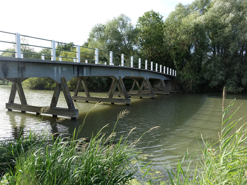
A stroll along the canals which will perhaps allow you to observe the remarkable biodiversity of the Marais Poitevin. Don't forget your binoculars!
1. Head towards the mound of earth overlooking the marshes (panels on the interpretive trail explaining the formation of the marsh), descend and reach the south bank of the Route d'Eau canal. Cross the footbridge.
2. Continue straight along the Route d'Eau canal then take the secondary road on the right. Cross the Combrands bridge and reach the banks of the Sèvre Niortaise.
It is around the Sèvre Niortaise, a real backbone, that the entire hydraulic system of the Marais Poitevin is organized.
3. Retrace your steps, cross the Combrands bridge and turn left on the path that avoids the road. It deviates from it then becomes parallel to the road again for 700 m.
4. Turn left, follow the Frêne canal and return to the Route d'Eau canal. Cross the footbridge again and return to the place of departure.
Marked route : Yes
Route Type : loop
Distance : 5km
Average duration : 80 min
- Prices
Free access.
OpeningsAll year.
Pet FriendlyNot disclosed
Spoken languages


